Suggested by: Johannes Scholz in cooperation with the Österreichischer Alpenverein
 |
| Source: Österreichischer Alpenverein |
Keywords: Cartography, Artificial Intelligence, Terrain Representation
Objective: Develop a workflow using AI-supported methods to transfer the traditional rock depiction style to current data foundations, enhancing topographic maps for mountain sports with historical cartographic aesthetics.
Short Description:
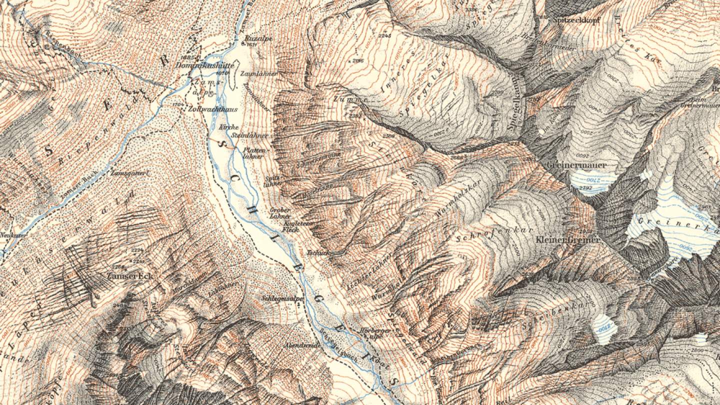
The Austrian Alpine Club (Österreichischer Alpenverein) boasts over 150 years of cartographic tradition. Since Franz Keil's first map in 1856, the Alpine Club's cartography has been rich in history. Figures like Rohn, Finsterwalder, Ebster, and Brandstätter have influenced generations of cartographers in terrain representation and plasticity. This project aims to bring these achievements of cartographic history into the present.
 |
| Source: Österreichischer Alpenverein |
 |
| Source: Österreichischer Alpenverein |
Start: Anytime